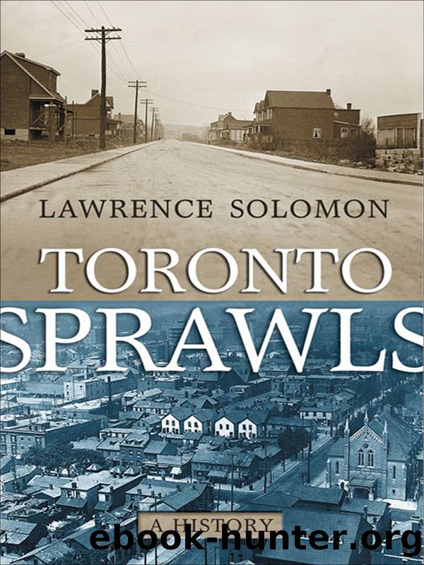
Toronto Sprawls by Lawrence Solomon
Author:Lawrence Solomon
Language: eng
Format: epub
Tags: HIS006000
Publisher: University of Toronto Press, Scholarly Publishing Division
Published: 2007-05-18T16:00:00+00:00
8 The Suburbs beyond the Suburbs
WITH SATISH DHAR
The provinceâs creation of Metropolitan Toronto accomplished its goals. Through this partial amalgamation mechanism, the suburbs were financed and methodically filled in.
But partial amalgamation was not the provinceâs only financing mechanism in the years following the Second World War. The province also spawned suburban expansion through infrastructure projects that would mesh Toronto with its immediate suburbs and beyond. These flowed from far-reaching plans begun by prewar planning bodies.
As the end of the war neared, political leaders established planning agencies to provide for the betterment of the people. The City Planning Board, created as Torontoâs first official planning board in 1942, by 1943 had produced a thirty-year master plan that called for vast slum clearances and superhighways. By 1945, the city had begun Regent Park, Canadaâs first large public housing project. In 1946 the province brought in a planning act to encourage municipalities to develop official plans for their communities.
The planning anticipated, and relished, a postwar population boom that would settle the countryside. At a 1944 municipal conference on planning and development attended by hundreds of municipal delegates, Premier George Drew exhorted his audience to âgo to the limits of the imaginationâ in expanding the population, stating that there was âno reason why this province cannot maintain 25 million in a higher degree of prosperity than ever before.â The province soon did go to the limit, reconstructing itself as a lower-density land. The creation of Metropolitan Toronto, funded by city taxpayers and ratepayers, was phase one in the dispersion of the population. Phase two took in Metro and beyond. It would be funded by the province.
Highway 401, now among the worldâs busiest freeways, was initially designed in the late 1940s to be a low-volume, trans-provincial highway well north of Toronto,1 its âToronto Bypassâ specifically intended for through traffic only. Completed in 1956, the twenty-six-mile bypass ran through the undeveloped outer suburbs of Scarborough, North York and Etobicoke. It was a motoristâs dream, according to one Toronto newspaper, providing âsome of the most soothing scenery in the Metropolitan area ⦠It winds smoothly through pastures and across streams and rivers, and beside green thickets. It seems a long way from the big city.â
The âbypassâ role of the twenty-six-mile stretch soon changed, and the highway soon stopped seeming a long way from the city. In line with the provinceâs decision to amalgamate Torontoâs metropolitan area, and with federal efforts to develop Torontoâs suburbs, the province constructed interchanges at every major intersection along the length of the bypass. Dormitory communities then sprang up in the northern fringe of the Toronto area and beyond as the Highway 401 bypass became a predominantly short-trip, commuter highway. By 1959, a highway that but three years earlier was estimated to carry 48,000 cars per day was now carrying 185,000 cars per day, and rush-hour traffic jams had routinely reduced highway speeds to fifteen miles per hour. To the 401âs original two lanes in each direction, the provincial government then added three collector lanes in each direction, to handle local traffic.
Download
This site does not store any files on its server. We only index and link to content provided by other sites. Please contact the content providers to delete copyright contents if any and email us, we'll remove relevant links or contents immediately.
| Africa | Americas |
| Arctic & Antarctica | Asia |
| Australia & Oceania | Europe |
| Middle East | Russia |
| United States | World |
| Ancient Civilizations | Military |
| Historical Study & Educational Resources |
The Dawn of Everything by David Graeber & David Wengrow(1763)
The Bomber Mafia by Malcolm Gladwell(1667)
Facing the Mountain by Daniel James Brown(1600)
Submerged Prehistory by Benjamin Jonathan; & Clive Bonsall & Catriona Pickard & Anders Fischer(1494)
Tip Top by Bill James(1493)
Wandering in Strange Lands by Morgan Jerkins(1482)
Driving While Brown: Sheriff Joe Arpaio Versus the Latino Resistance by Terry Greene Sterling & Jude Joffe-Block(1410)
Red Roulette : An Insider's Story of Wealth, Power, Corruption, and Vengeance in Today's China (9781982156176) by Shum Desmond(1395)
Evil Geniuses: The Unmaking of America: A Recent History by Kurt Andersen(1393)
The Way of Fire and Ice: The Living Tradition of Norse Paganism by Ryan Smith(1369)
American Kompromat by Craig Unger(1361)
F*cking History by The Captain(1350)
It Was All a Lie by Stuart Stevens;(1342)
American Dreams by Unknown(1320)
Treasure Islands: Tax Havens and the Men who Stole the World by Nicholas Shaxson(1307)
Evil Geniuses by Kurt Andersen(1298)
White House Inc. by Dan Alexander(1244)
The First Conspiracy by Brad Meltzer & Josh Mensch(1217)
The Fifteen Biggest Lies about the Economy: And Everything Else the Right Doesn't Want You to Know about Taxes, Jobs, and Corporate America by Joshua Holland(1159)
